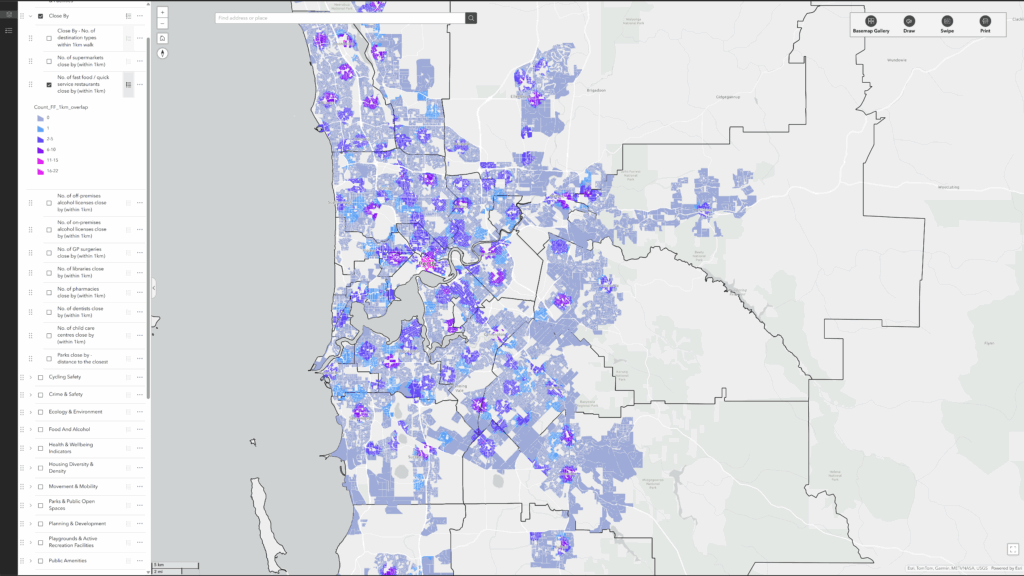
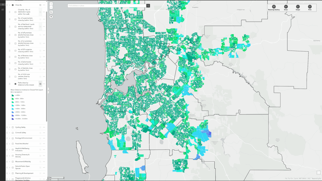
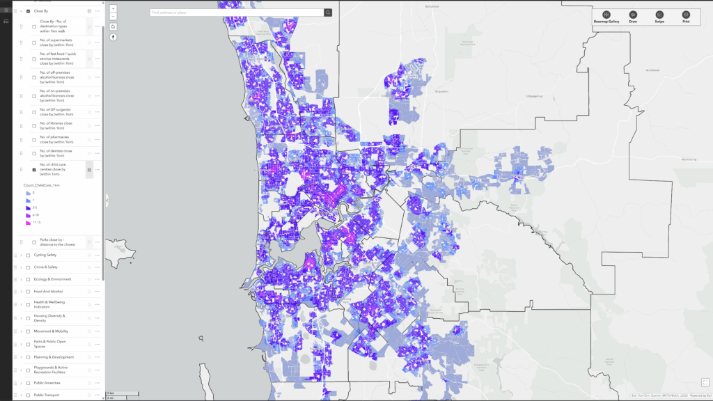
Our “Close By” indicators map access from each residential street block to a wide range of everyday destinations, revealing how many are within a 1 km walk from every street block in Perth.
Click anywhere on the map and you will see all the destination types that are (and aren’t) accessible within a 15 minute / 1-km walk.
This provides a more comprehensive and meaningful measure of walkability than simply calculating the distance to the nearest shop, food outlet, destination, or service. Rather than focusing on a single point of access, “Close By” captures the richness, diversity, and connectivity of local environments, demonstrating not only what is nearby but also the multitude of opportunities available within reach. This broader perspective reflects cumulative exposure to environments, which is increasingly recognised in public health research as crucial for supporting physical activity, mental well-being, and social inclusion.
Destination Types
We have mapped and computed access to:
- Aged care centres
- Alcohol outlets – on premises licenses
- Alcohol outlets – off-premises (takeaway) licenses
- Bus stops
- Child care centres
- Community gardens
- Dentists
- Farmers markets
- Fast food (quick service) outlets
- GP surgeries
- Libraries
- Parks and public open spaces
- Petrol station convenience stores
- Pharmacies
- Playgrounds
- Shopping centres
- Supermarkets
- Youth active recreation spaces (skate parks, BMX tracks, pump tracks, basketball half courts)
The map provides a count of the total number of all destinations accessible within 1km as well as the number of different types of destinations (i.e., 0 to 18) accessible within 1km.
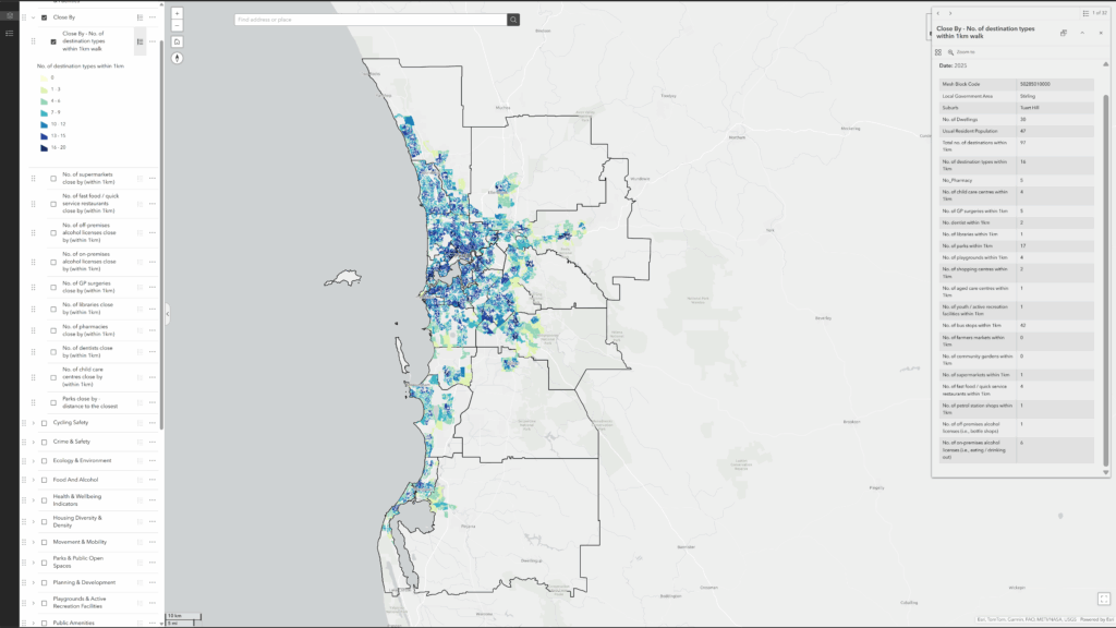
from each residential street block.
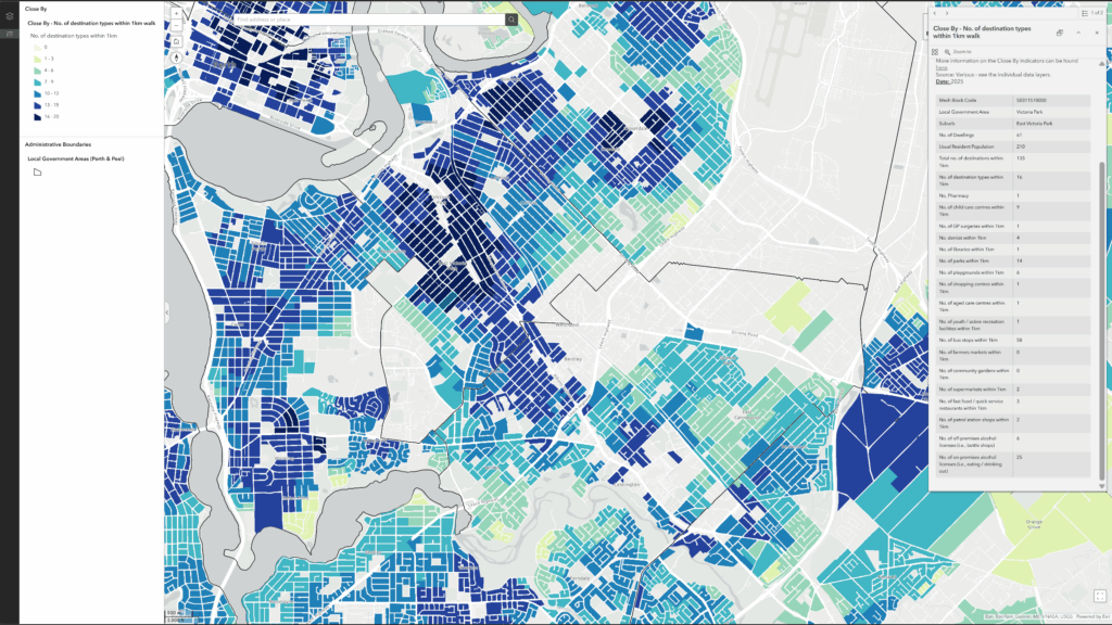
The map layers also allow you to explore access to individual destination types, showing how many of each are reachable within a 1 km (10–15 minute) walk from every residential street block.