Case Studies
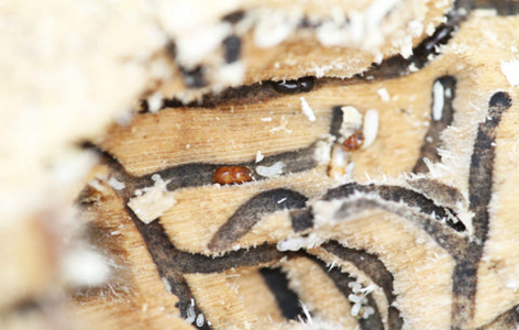
Polyphagous Shot-Hole Borer (PSHB) Risk Mapping Tool
Spatial risk mapping of the polyphagus shothole borer (PSHB) infestation and spread
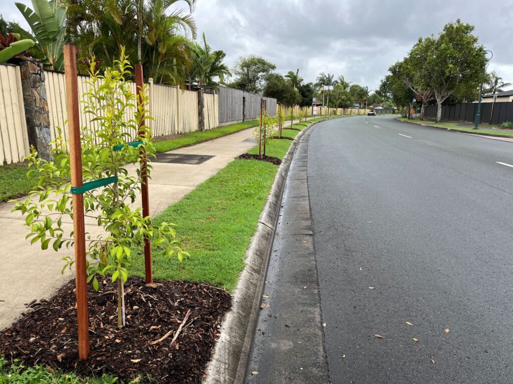
Modelling future canopy cover from tree planting initiatives
Identifying canopy cover on land controlled by local government and estimating future canopy cover from planted trees
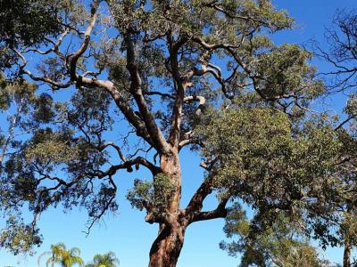
Where should all the trees go?
Development of a multi-criteria tree planting prioritisation framework and decision support tool

Where could all the trees go?
Development of a spatial evidence base to identify available plantable spaces

Public Health Plans – Healthy Environments Audit Tool
Health-focused environmental and urban design audits for public health planning