News & Updates

New health services directory & St John WA data
Data from the National Health Services Directory (NHSD) has been added to the Thriving Perth Portal

Fast food chain restaurant locations – 2024 & 2026
Fast food chain restuatant locations added to the Thriving Perth Portal
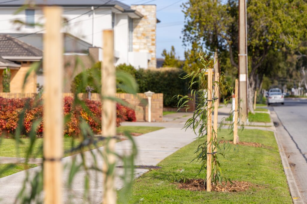
Places to Plant – Developing a Tree Planting Priority Map
Where should and could the trees go? Development of a multi-criteria tree planting framework and priority planting map
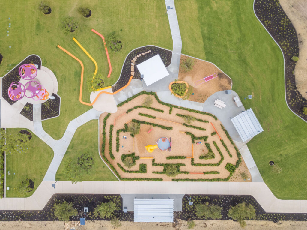

Childhood immunisation coverage for Western Australia
Weve spatialised the childhood immunisation coverage across Western Australia by Statistical Areas Level 3 (SA3)

Healthy Communities project funding awarded from Healthway
Developing an Environmental Determinants Audit Tool to help local government public health planning

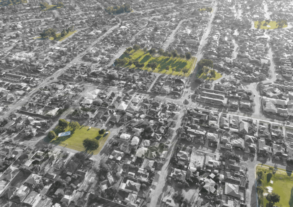
Australian Park Life Survey data
Results from the Australian Park Life Survey can now be viewed in the Thriving Perth Portal.