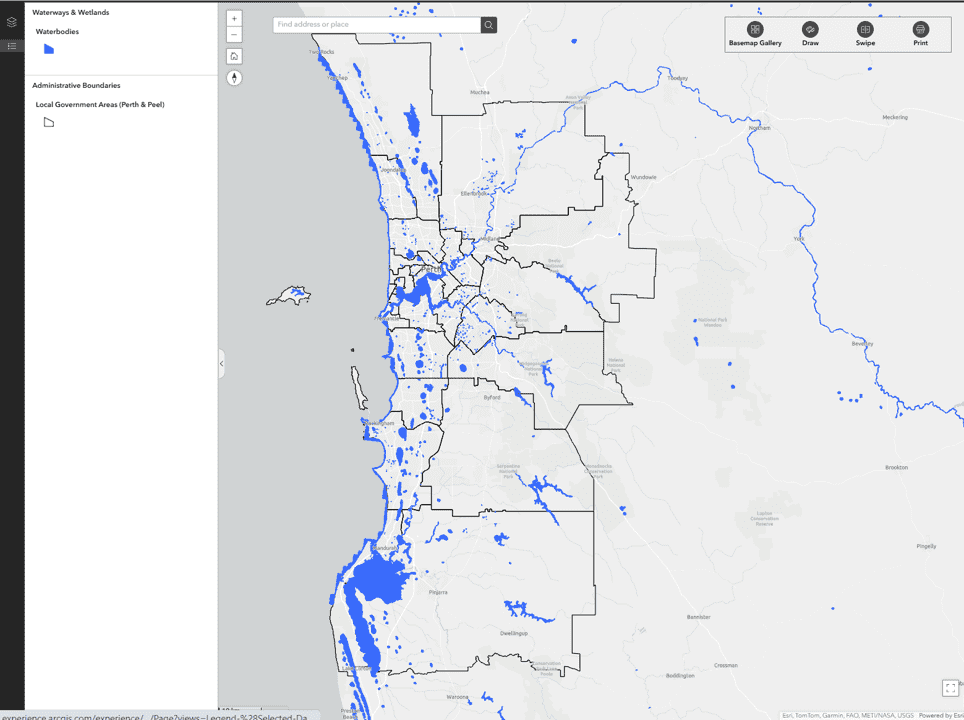
This layer captures all natural and permanent water features, including rivers, estuaries, coastal waters, lakes, ponds, swamps, wetlands, and reservoirs that typically contain water year-round. It excludes drainage sumps that are designated infrastructure assets managed by the Water Corporation or local governments. However, it does include sumps located within public open spaces where water is permanently present. Note: This layer does not represent drainage areas within public open spaces that are only intermittently inundated.
This layer was created by combining multiple datasets and conducting a visual audit to manually digitise any waterbodies not captured in existing sources.
The primary data sources include:
- DEA Waterbodies – Digital Earth Australia (DEA)
- Australian Hydrological Geospatial Fabric – Water Bodies – Bureau of Meteorology
- OpenStreetMap – Bodies of Water
Manual digitisation ensured greater completeness by identifying and adding missing waterbodies not represented in the source datasets.